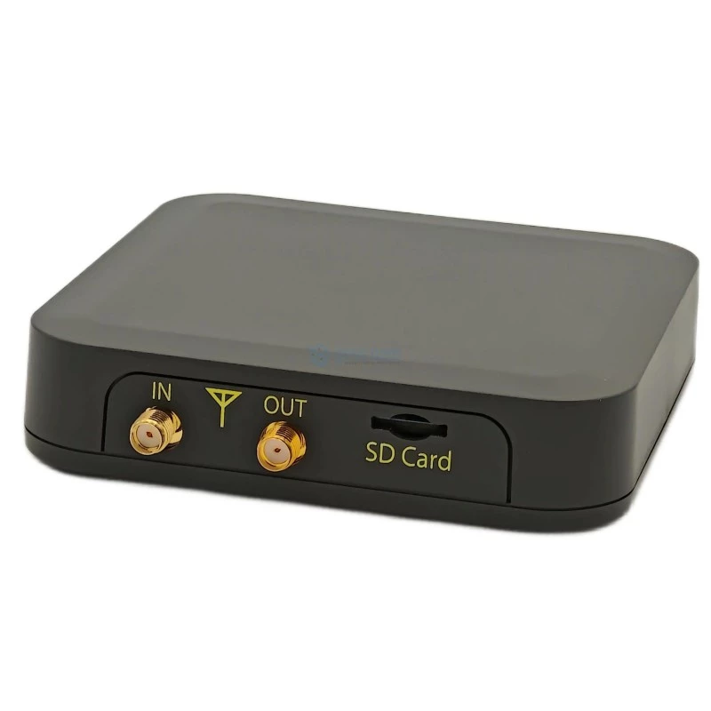
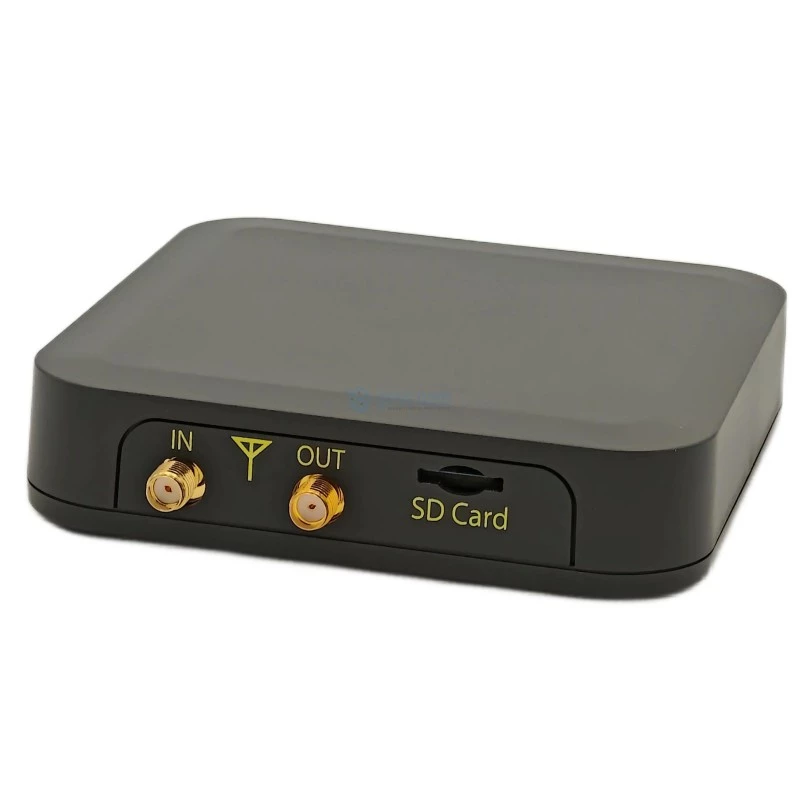
UM980 ALL-BAND RTK GNSS ROVER KIT
- Lefebure NTRIP Client
- Mobile Topographer GIS
- Apglos Survey Wizard
- Mapit GIS Professional
OVERVIEW
RTK all-band GNSS Rover Kit on UM980 High Precision GNSS receiver with centimeter accuracy. Integrated Helix Antenna, USB-C connector and 1/4" thread mount, IP67 waterproof case. Wireless connectivity options Bluetooth or Wi-Fi. All-band receiver delivers centimeter-level accuracy in seconds. Designed for surveying, mapping and navigation.
With the RTK GNSS Development Kit you will have everything you need to start your surveying, mapping and navigation tasks with RTK and centimeter level accuracy. You can use your preferred Android application to connect with the kit over Bluetooth or use UPrecise Unicore Evaluation Software to connect directly to UM980 high precision GNSS module over USB-C.
Development Kit ensures the security of positioning and navigation information by using secure interfaces and advanced jamming and spoofing detection technologies. It comes with built-in support for standard RTCM corrections, supporting centimeter-level navigation from local base stations or from virtual reference stations (VRS) in a Network RTK setup.
The GNSS DK2 is a compact, versatile, and highly capable GNSS development kit built around a high-precision multi-band receiver delivering centimeter-level RTK accuracy. It is the successor to the original GNSS DK, designed from the ground up on a new hardware and software platform that significantly expands the range of possible applications.
The device is equally at home in professional surveying and mapping workflows and in custom GNSS-based projects that require flexible connectivity, configurable data routing, and multiple logging formats — all in a single, pocketable unit.
Rugged, Field-Ready Hardware
The GNSS DK2 is housed in a compact IP67-rated waterproof enclosure with an integrated helix antenna and a standard 1/4"-20 threaded mount, making it immediately compatible with photography tripods. A geodetic 5/8"-11 adapter is included for use with surveying tripods.
Two USB Type-C connectors are provided: one for data communication and one for power. Both can supply power to the device, and when a power bank is connected to the power port, the data port can simultaneously charge a connected smartphone. An optional VC-1 Powerbank Hand Grip accessory is available for extended field sessions without carrying a separate power bank.
An internal supercapacitor provides a brief energy reserve on power loss, allowing the firmware to safely close all open files — including GPX tracks — before shutting down, and enabling hot-swap of external power banks without interrupting operation.
Rich Wireless and Wired Connectivity
The GNSS DK2 offers an unusually broad set of interfaces for a device of its size:
USB — exposes one or two USB-UART virtual serial ports (USB CDC-ACM, no driver installation required on modern operating systems) and provides USB Mass Storage access to internal storage in File Download mode
Bluetooth 4.2 Classic (BR/EDR, SPP profile) — wireless serial connection to mobile apps and other devices
Wi-Fi 802.11b/g/n (2.4 GHz) — both station (STA) and access point (AP) modes, used for NTRIP corrections [1], firmware upgrades, and CLI access
LoRa — a dedicated receiver for differential corrections at distances of up to kilometers in good line-of-sight conditions; compatible with Advanced GNSS RTK CORS Fanless Station base stations [1]
Seamless Integration with Mobile Applications
The GNSS DK2 works out of the box as an RTK rover with popular Android field applications:
- SW Maps
- Lefebure NTRIP Client
- GNSS Master
- Mobile Topographer GIS
- Apglos Survey Wizard
- TcpGPS
- FieldGenius
- SurPad 4.2
- Mapit GIS Professional
- ODK Collect
- OsmAnd
- Google Maps
The application connects to the device via Bluetooth or USB, receives NMEA data, obtains RTK corrections over the internet via NTRIP, and relays them back to the receiver — which then computes a centimeter-accurate solution.
Through Android’s mock location mechanism, the RTK position from GNSS DK2 becomes the system-wide location on the phone, transparently available to any app that uses the standard Android location API — from Google Maps and OsmAnd to specialized GIS and field survey tools. Apps that support both NTRIP and mock location — such as SW Maps, Lefebure NTRIP Client, and GNSS Master — can serve as the mock location provider while simultaneously feeding RTK corrections to the device.
Flexible Data Logging
The 32 GB internal flash storage holds all logged data and configuration files. The device can simultaneously record multiple data streams in different formats:
Raw binary — unprocessed receiver output for post-processing workflows
NMEA — standard sentence log, compatible with virtually any GIS software
GPX — track file with automatic date/time-based naming; waypoints can be marked at any time with a single button press
Simple Yet Powerful Configuration
All device settings are controlled through a plain-text file, autoexec.txt, stored on the internal drive and executed at every startup. USB port presentation, Bluetooth channel assignments, LoRa parameters, active file writers, baud rates — all are specified in human-readable commands. A well-commented default configuration is automatically generated on first boot and serves as a ready-made starting point.
Wi-Fi credentials are stored in protected internal storage rather than in the configuration file.
For advanced GNSS receiver configuration — message outputs, constellations, RTK parameters — the device exposes the receiver directly over USB, allowing the use of the receiver manufacturer’s official configuration software without any intermediary.
TECHNICAL SPECIFICATIONS
VARIANTS & OPTIONS
LABELS
PRODUCT TAGS
COMPLEMENTARY & RELATED HARDWARE
Compatible antennas, companion links & system modules